Most people prefer to hike in the morning, but I prefer to hike in the late afternoon for two reasons:
There’s always fewer people.
The late afternoon can bring on different lighting and mood to locations. You can catch some really rewarding sunsets, the warm glow of golden hour, or some really moody cloud formations.
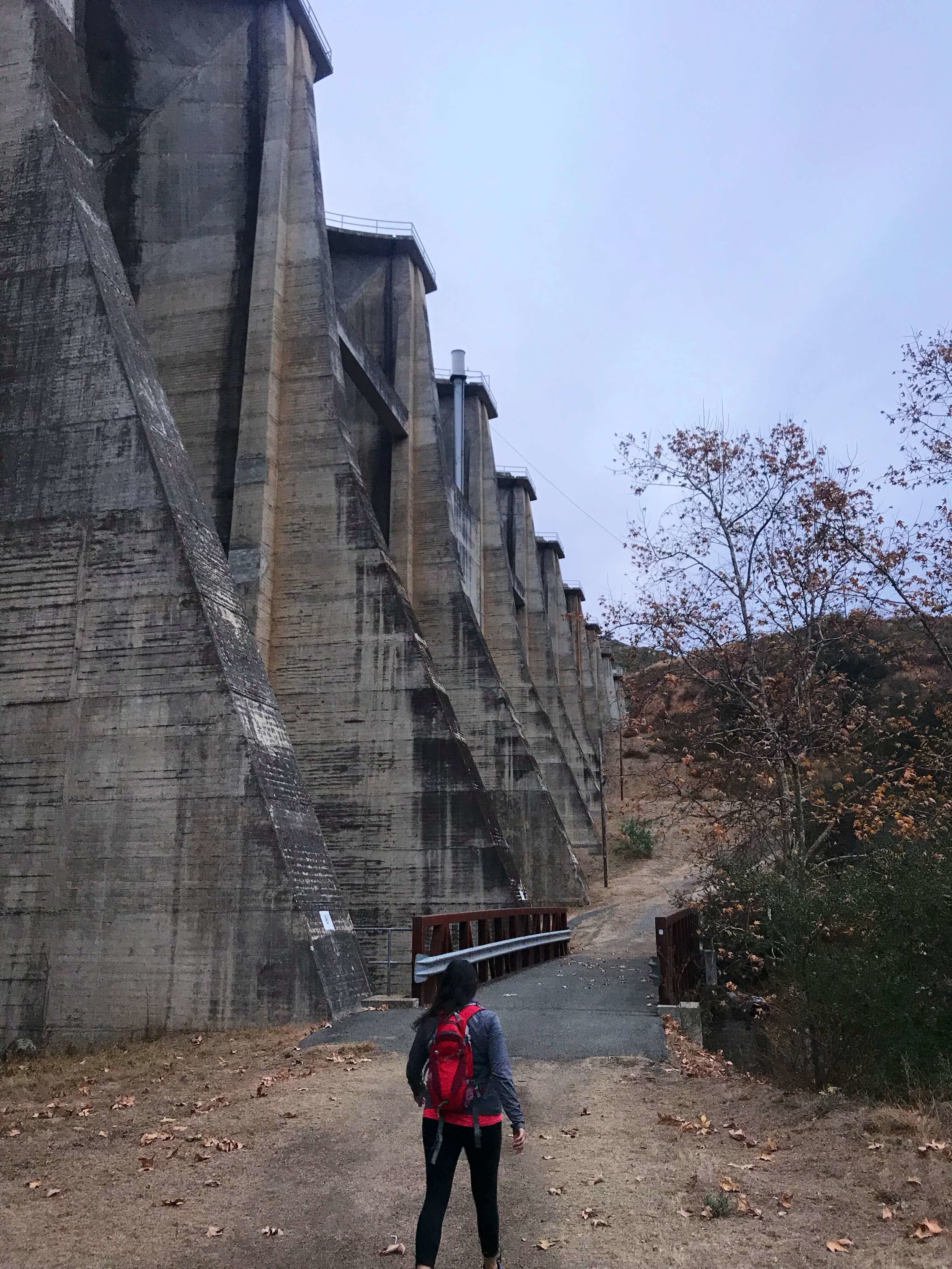
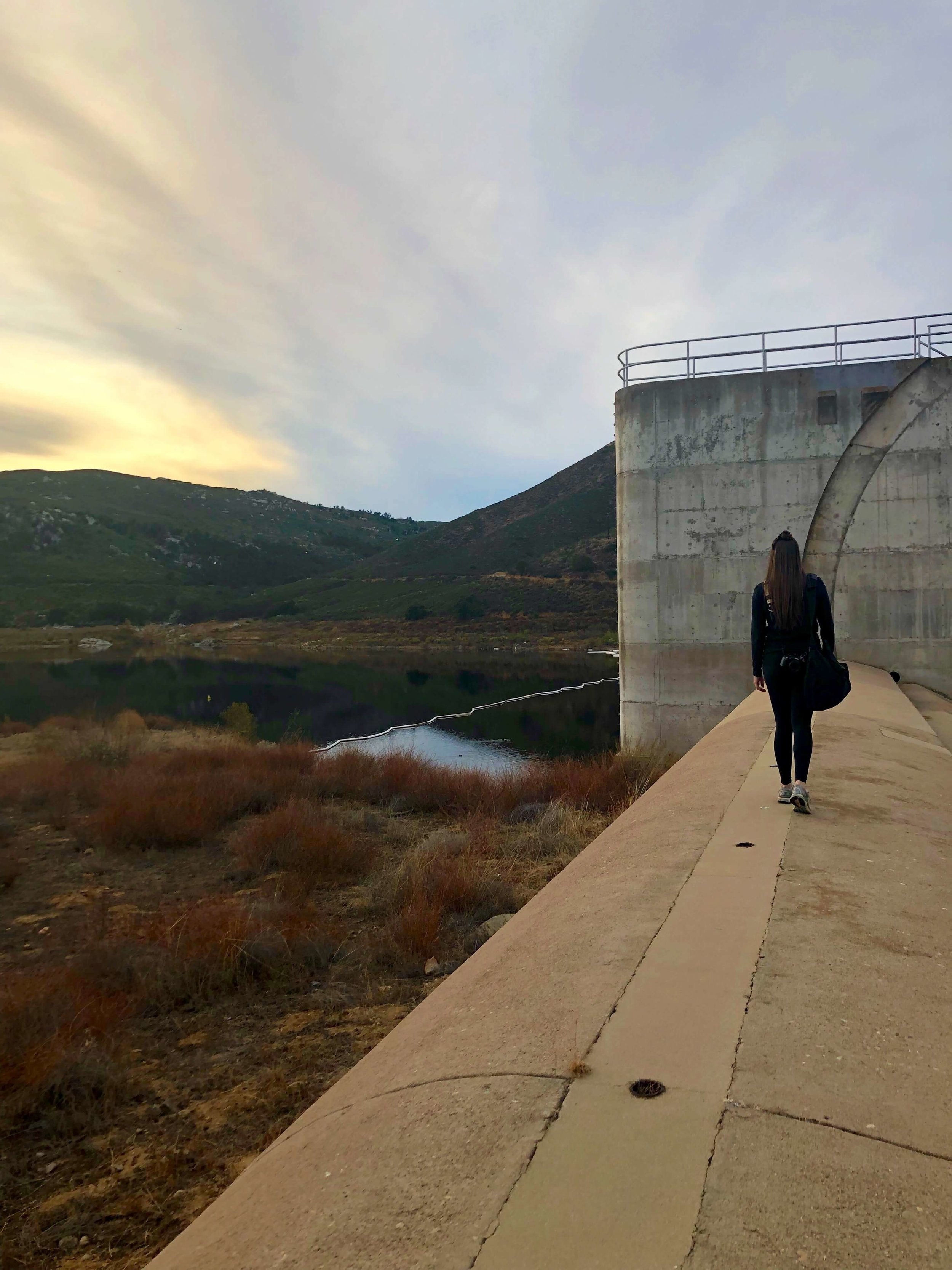
The moody clouds specifically played into this hike. When I first came across this location, I had only seen a small photo and at first thought it was an abandoned nuclear reactor. When I realized it was a dam with badass architecture and only 50~ minutes from San Diego – I WAS DOWN.
I’m personally drawn to and LOVE abandoned locations, and Sutherland Dam completely fulfilled the eerie, abandoned vibes I was hoping for. San Diego’s weather has been rainy and cloudy lately, making this a perfect time to visit! That being said, this hike would be equally as enjoyable when it’s sunny and 75.
We arrived at 2pm and had the area completely to ourselves - which was a bonus, but also eerie. Fair warning that the way the dam is built creates an echoing effect that amplifies any (and EVERY) sound. If any people or animals are in the area, you will hear it.
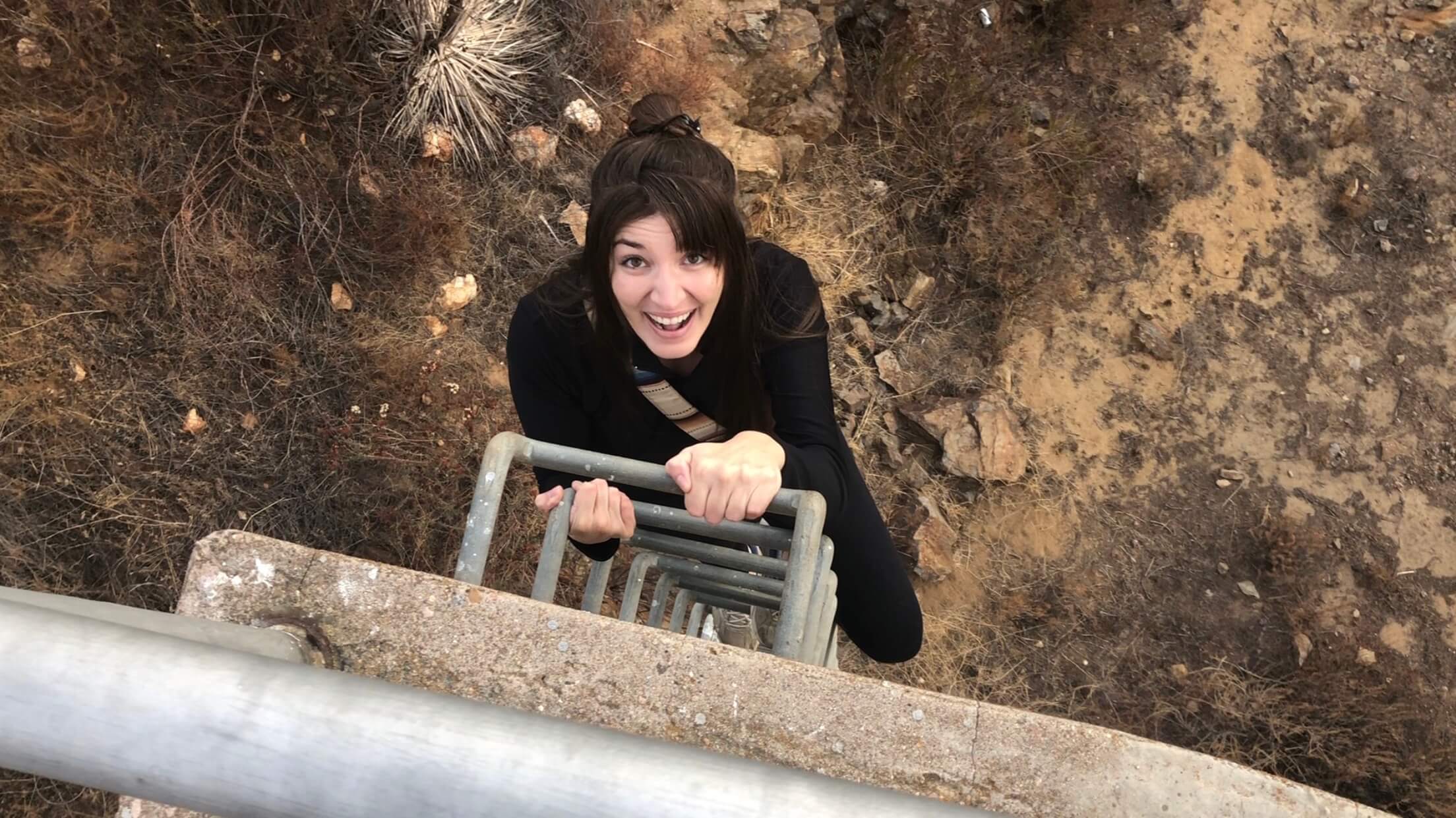
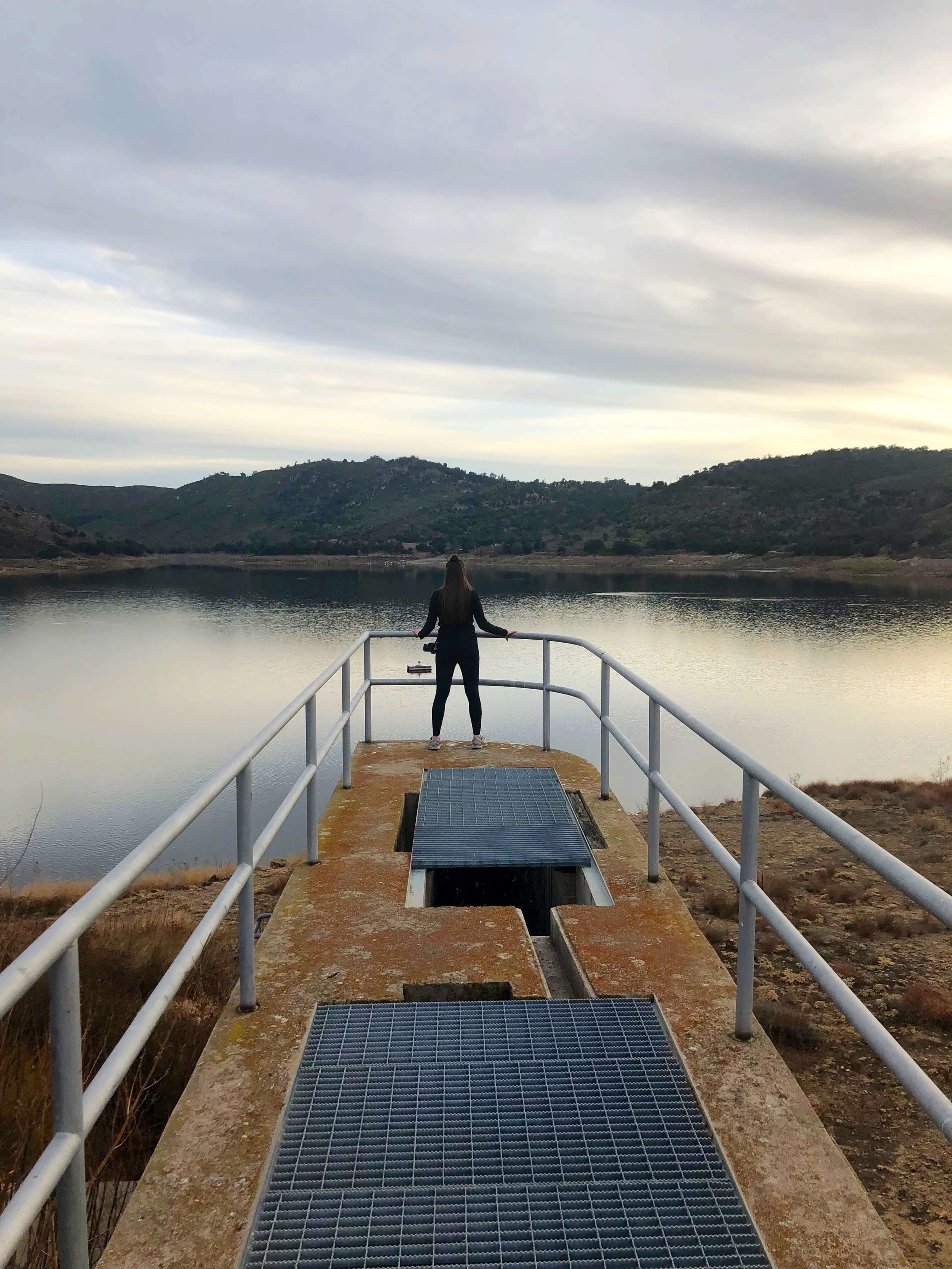
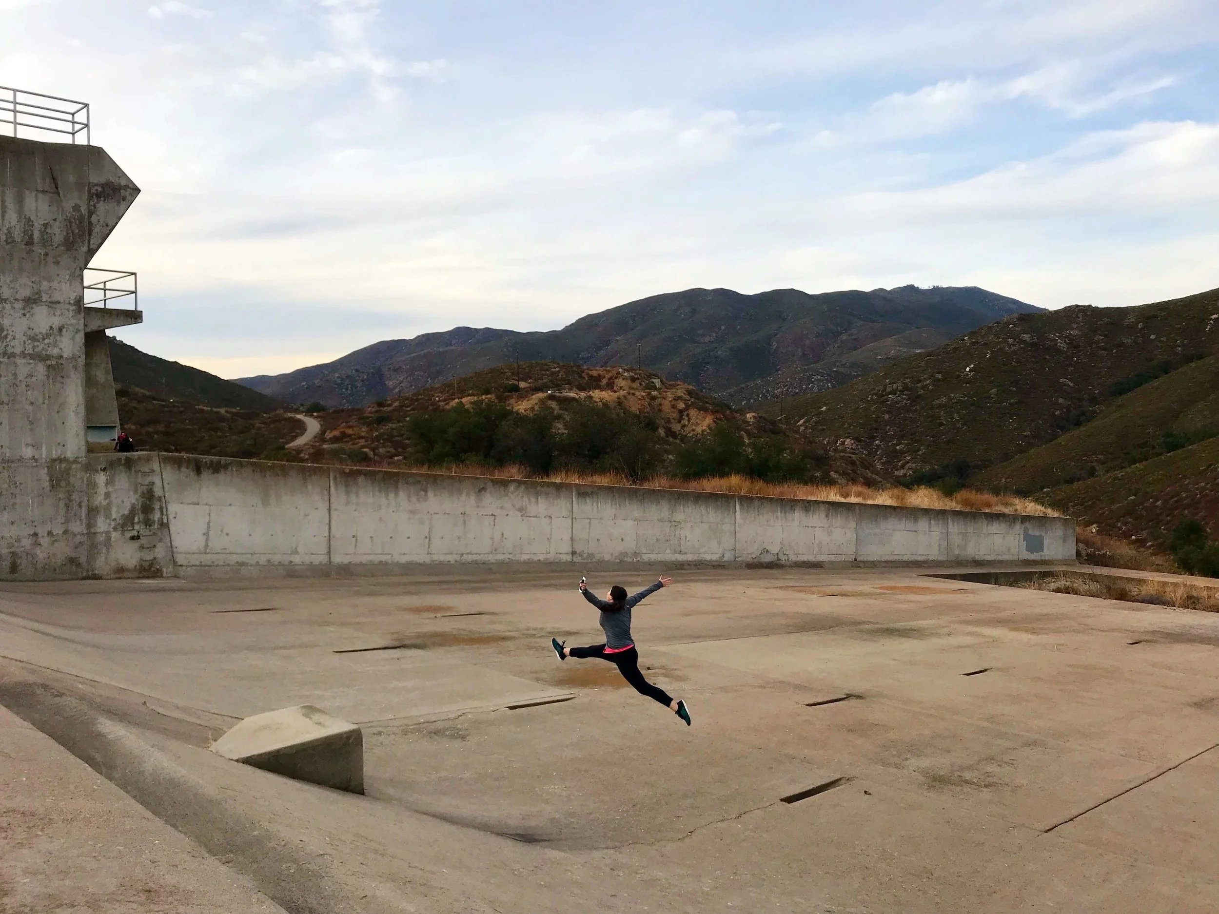
As you make your way north along the back of the dam, you'll come to a bridge that leads to a hill. Follow the path up towards the northern most end and you'll reach a ladder that leads down to the spillway. The lake's level is low right now, hello drought, but the silver lining is that you can walk to the other side for some pretty breathtaking views of the dam.
The most impressive thing to me about this area was that there was so little trash and NO graffiti. It seems rare anymore to find a concrete structure that hasn't been compromised, and the absence of that added to the already perfect beauty of the area. Once you've had your fill taking it all in, you can follow your same original path back to your car.
GETTING THERE: Sutherland Dam is a little under 10 miles from downtown Ramona and can be accessed off CA-78 E by making a left turn onto Sutherland Dam Road (if you're coming from the I-15). You can input the following coordinates into your GPS to easily reach the dirt parking lot for the trail head: 33.1199, -116.7885. I recommend switching your GPS to satellite view before going, this will help to familiarize yourself with the area before you go.
LET'S CUT TO THE CHASE:
GPS Coordinates for the trailhead: 33.1199, -116.7885
Hike Difficulty: Easy. Less than 1 mile, but we still had fun in the area for almost 2 hours.
Essentials: Water (always), a hiking buddy, and respect for the area. As I mentioned, this area had no graffiti and very little trash. Helping to keep it that way is important, always pack out more than you're packing in - and be sure to keep in mind this is people's drinking water, please be respectful.
Thanks for reading along! If you decide to go, please let me know, I would be stoked to hear all about it!


